
Interested in taking a water management course or program?

The Role of GIS in Water Management

Water management is all about understanding and solving complex issues related to water. How do you prevent flooding after extreme rainfall? Why is a nature reserve drying up? What causes water quality to deteriorate? Which areas are at risk of flooding? And how can you use available water resources as efficiently as possible during prolonged droughts? Answering these questions requires an understanding of the interrelationships between groundwater, surface water, water quality, climate, soil, and land use.

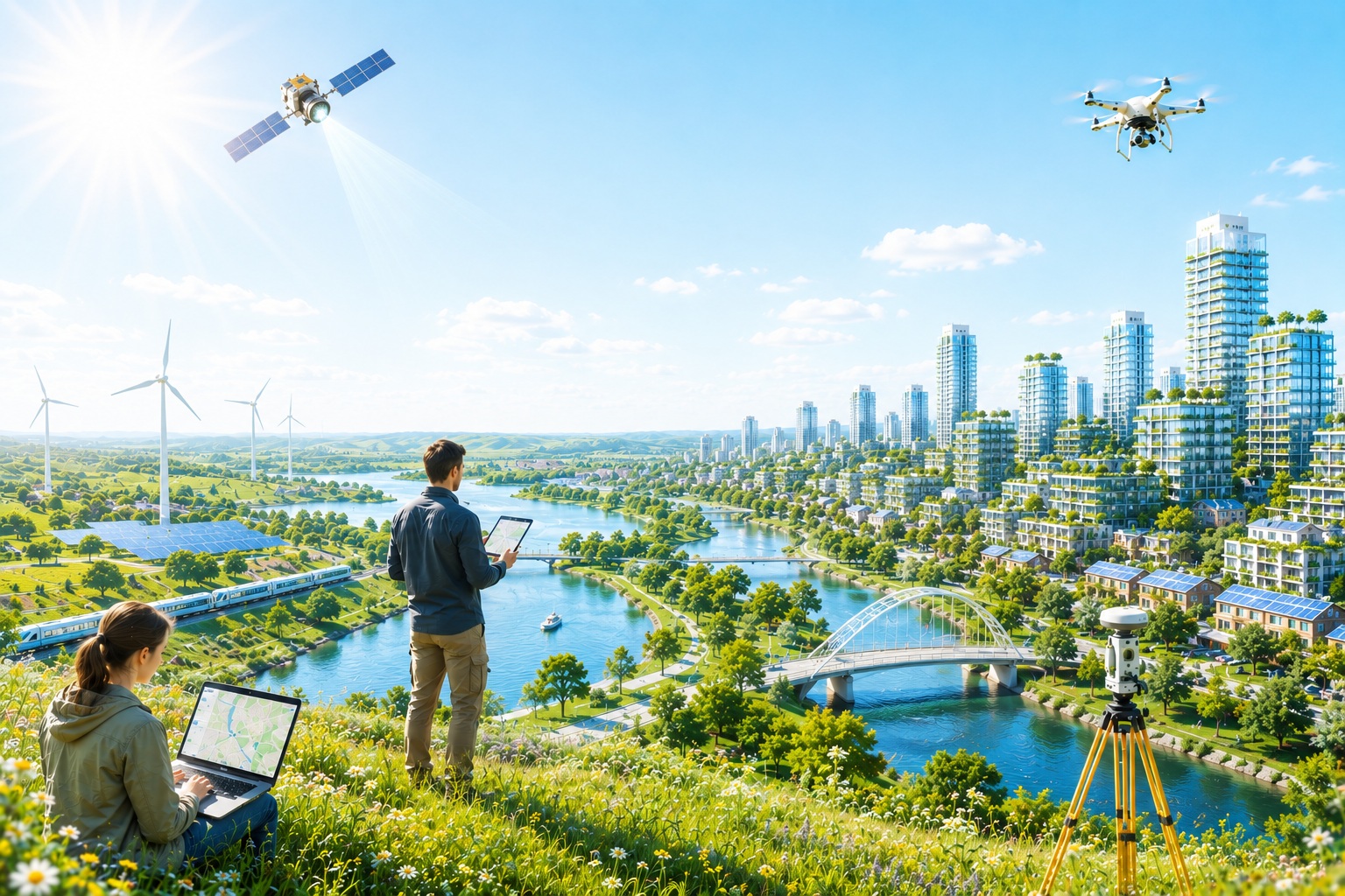
Modern water professionals combine GIS, open geodata, satellite information, and GeoAI to conduct comprehensive analyses of water systems and make informed decisions. By conducting spatial analyses, patterns become visible, the causes of hydrological problems can be identified, and various measures and scenarios can be objectively compared. This creates a solid foundation for decision-making in water management, climate adaptation, nature conservation, and spatial planning.

Our Blended Learning courses in Water Management are designed with a practical focus and address issues commonly encountered by water authorities, municipalities, provinces, drinking water companies, engineering firms, and consulting firms. Youโ€™ll not only learn to work with the latest techniques, but above all how to translate geodata into reliable analyses, concrete recommendations, and effective measures. From broad system analysis of an entire water system to specialized topics such as groundwater, surface water, water quality, flooding, irrigation, and GeoAI: each course helps you professionally analyze and solve complex water management challenges.


Geo-ICT Training Center - Water Management Courses

Why choose a Water Management course at Geo-ICT?

Hans van der Kwast, Associate Professor of Hydrology, brings a wealth of open-source GIS e-learning courses, videos, books, and expertise to the table. He is involved in the development of these courses and also teaches them for us both in the Netherlands and abroad.

Choosing a Water Management course at Geo-ICT means learning how to systematically analyze complex hydrological issues and translate them into well-founded recommendations and appropriate measures. Our courses focus not only on the use of GIS, but primarily on understanding water systems and solving problems related to groundwater, surface water, water quality, flooding, irrigation, and climate adaptation.

During the courses, youโ€™ll work with up-to-date open geodata, satellite information, digital elevation models, hydrological models, and the latest developments in the field of GeoAI. Youโ€™ll learn not only how to perform analyses, but above all how to identify the causes of water problems, compare different solution scenarios, and translate the results into well-informed decision-making.

Our hands-on approach aligns with the day-to-day work of water authorities, municipalities, provinces, drinking water companies, engineering firms, and consulting firms. By working with realistic datasets and practical assignments, youโ€™ll develop the knowledge and skills to analyze entire water systems and design solutions for current challenges in water management, climate adaptation, and spatial planning. This prepares you to immediately add value as a water professional within a wide range of projects and organizations.

Wide Variety of Courses Offered

Our Water Management course offerings are structured around the most important issues in modern water management. Each Blended Learning course covers a specific topic, while all courses together provide a comprehensive overview of analyzing water systems using GIS, open geodata, satellite information, and GeoAI. You can take each course individually or combine them into a comprehensive program in water management.

  • Water Management โ€“ System Analysis: Analyze entire water systems and understand the interrelationships between groundwater, surface water, water quality, climate, soil, and land use.
  • Groundwater โ€“ Desiccation: Investigate groundwater flow, infiltration, seepage, percolation, and foundation issues.
  • Surface Water โ€“ Flooding: Analyze watersheds, drainage, water storage, and peak discharges.
  • Water Quality โ€“ Source Analysis: Identify sources of pollution and analyze water quality using open data and satellite information.
  • Flooding โ€“ Risk Analysis: Assess flood risks, climate scenarios, and measures for water safety and climate adaptation.
  • Irrigation and Water Productivity โ€“ Water Optimization: Identify where water stress occurs and determine how to use every available liter of water as efficiently as possible.
  • GeoAI in Water Management โ€“ Geo-Intelligence: Use AI agents, intelligent workflows, and pattern recognition to analyze geospatial big data and gain hydrological insights.

Together, these Blended Learning courses form a comprehensive and practice-oriented program for water professionals. You will not only learn to work with modern GIS techniques, but above all how to analyze complex water management issues, evaluate different solution scenarios, and formulate well-founded recommendations for water management, climate adaptation, and spatial planning.

My name is Maikel van der Wijk. Iโ€™m
the HR Manager. Would you like more information?

Click here

FAQs: Water Management Courses

Water management ensures that we can live and work safely. It involves managing surface water, groundwater, water quality, irrigation, droughts, and floods. Due to climate change, rising sea levels, and more extreme precipitation, effective water management is becoming increasingly important worldwide.

The Netherlands has centuries of experience living below sea level. Thanks to dikes, pumping stations, polders, storm surge barriers, and an advanced water management system, the Netherlands ranks among the worldโ€™s leaders in water management. Dutch expertise and technology are applied worldwide in projects related to flood protection, river management, coastal defense, and climate adaptation.

GIS makes it possible to spatially analyze and visualize water-related data. Examples include modeling watersheds, analyzing flood risks, monitoring water quality, managing surface water, and supporting decision-making with up-to-date geodata and satellite imagery.

This course is intended for anyone who wants to learn more about water management using GIS. This includes GIS specialists, hydrologists, water managers, policy analysts, ecologists, civil engineering professionals, and students who want to understand how geoinformation is used in sustainable water management.

This blended learning program forms the foundation for six in-depth modules. Among other topics, youโ€™ll learn more about surface water management, floods and waterlogging, water quality, irrigation and crop monitoring with FAO WaPOR, water for energy, and water for food production. In this way, youโ€™ll gradually build broad and practical expertise in the field of water management.