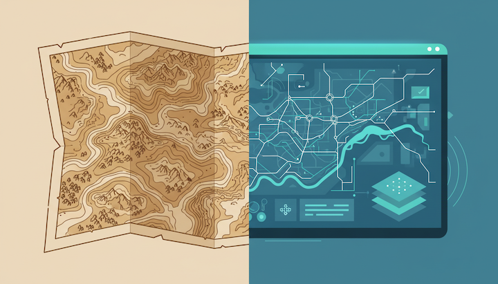
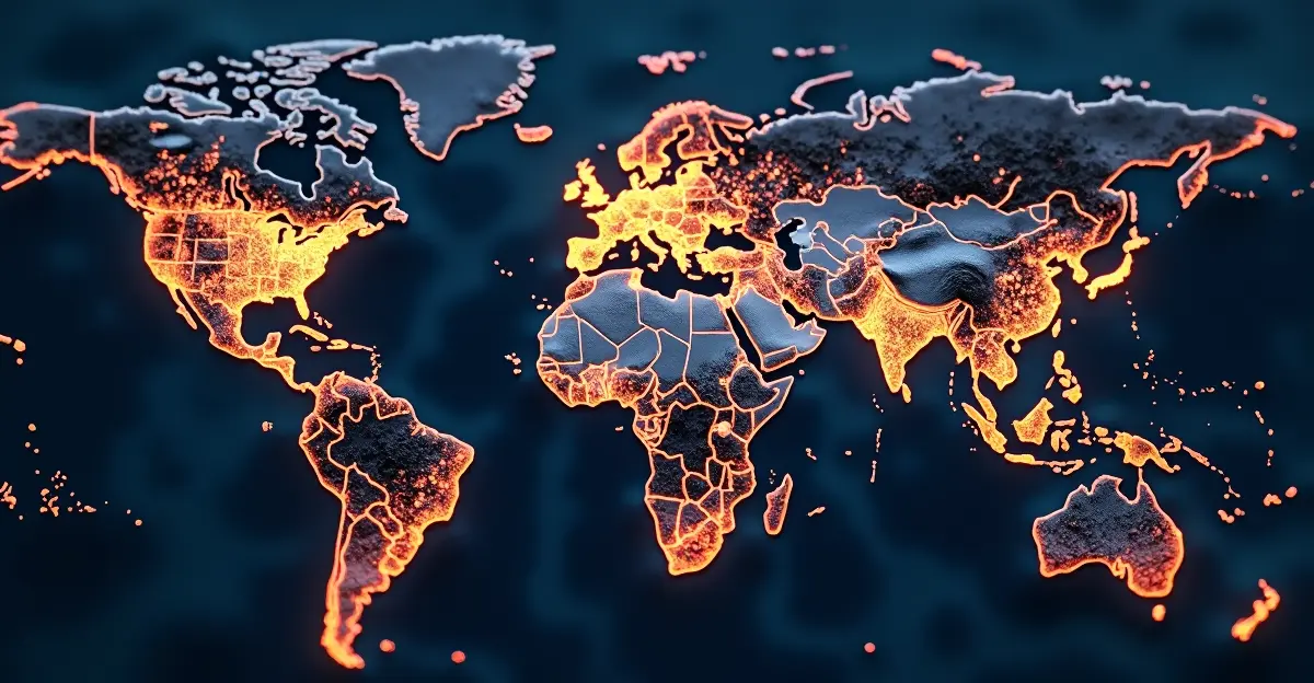
Whether we’re planning a route on our smartphone, deploying an agricultural drone, monitoring a flood barrier, or analyzing climate change, we rely on a complex chain of geodetic systems. This geodetic supply chain forms the invisible infrastructure behind virtually all modern geoinformation. At UN-GGIM (United Nations Global Geospatial Information Management), geodesy is no longer viewed as a niche field, but as a strategic foundation for sustainable development, security, the economy, and science.
The geodetic supply chain describes the entire process by which accurate location, time, and elevation data is generated, maintained, and applied.
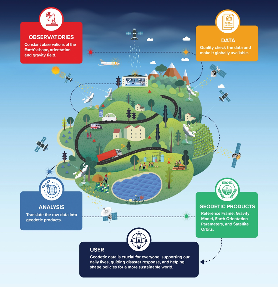
The chain consists of 4 steps.
Step 1: Fundamental geodesy
This involves international reference frames, atomic clocks, satellite orbits, gravity measurements, and geodynamics. International organizations such as the International Earth Rotation and Reference Systems Service (IERS), International GNSS Service (IGS), International Laser Ranging Service (ILRS), and International VLBI Service for Geodesy and Astrometry (IVS) form a crucial link within the global geodetic infrastructure and provide essential building blocks for the global reference frame.
Step 2: National geodetic infrastructure
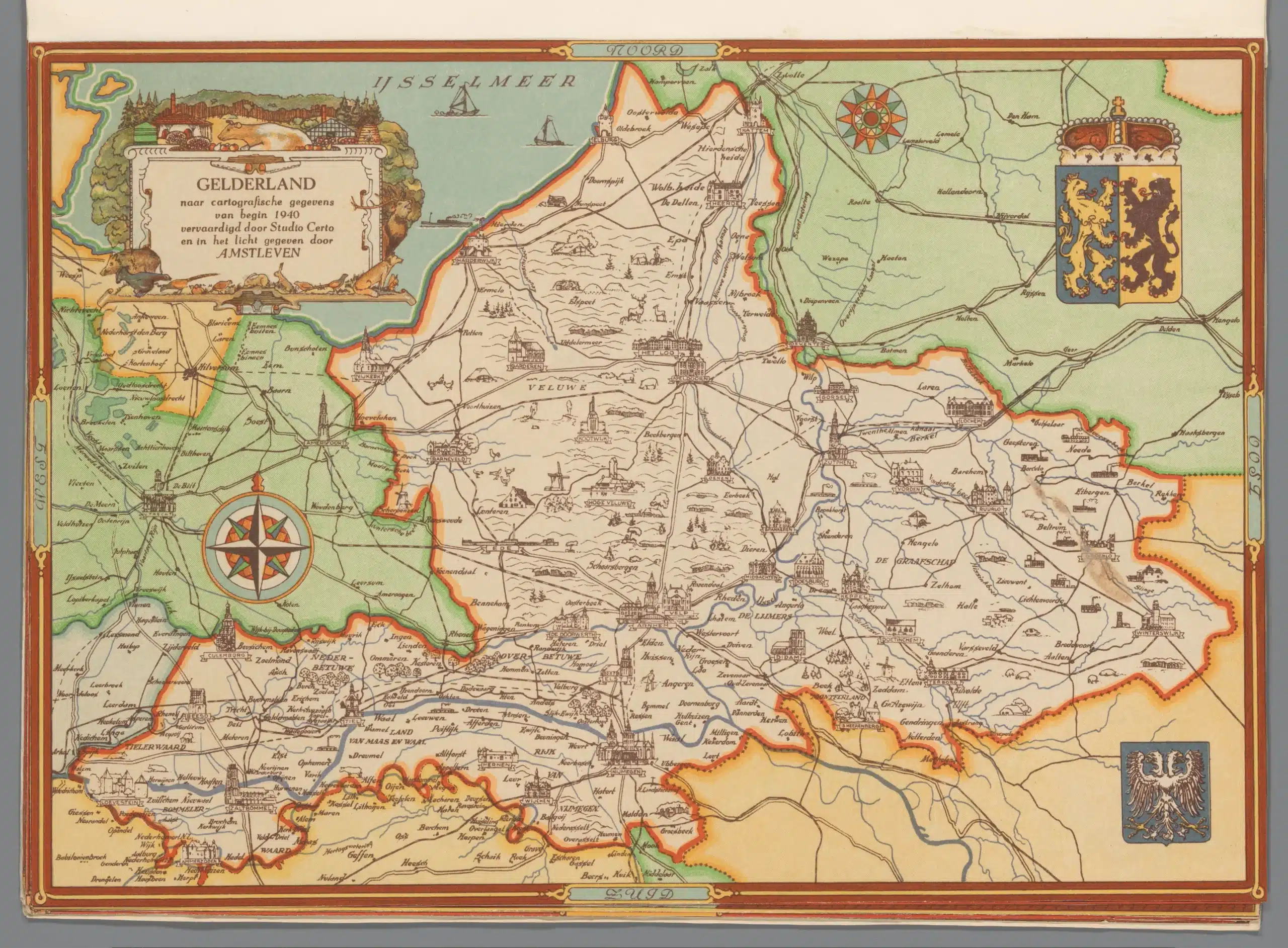
GNSS reference stations, elevation and gravity networks, national reference systems, and continuity management together form the basic geodetic infrastructure of the Netherlands. This infrastructure ensures that all geographic data—from cadastral boundaries and construction projects to water management and navigation—is recorded within the same reference frame.
In the Netherlands, this infrastructure is managed by a partnership of public organizations. The Land Registry is responsible for the national geodetic infrastructure and manages, among other things, the active GNSS network of permanent reference stations. In addition, the Land Registry maintains the official coordinate systems and ensures alignment with international reference frames such as ETRS89.
Rijkswaterstaat plays a central role in managing the Dutch height reference system. The management of the Amsterdam Ordinary Sea Level (NAP) is one of its most important tasks. Because large parts of the Netherlands lie below sea level, a reliable height network is essential for water safety, infrastructure development, and climate adaptation.
Other organizations, such as provinces, water boards, municipalities, research institutions, and the Dutch Geodetic Commission (NGC), also contribute to the maintenance and further development of the geodetic infrastructure. Together, they ensure that the Netherlands has an extremely accurate and internationally linked reference system.
Moreover, the Dutch infrastructure does not stand alone. Through European initiatives such as EUREF and global organizations such as the International GNSS Service (IGS) and the International Earth Rotation and Reference Systems Service (IERS), the Netherlands is part of the global geodetic supply chain. This enables satellite navigation, Earth observation, sea level monitoring, and international scientific projects to utilize consistent and reliable location, elevation, and time information.
The Netherlands is one of the countries where the geodetic infrastructure is virtually invisible yet crucial for water management, the energy transition, digital government, autonomous mobility, and future projects such as the Einstein Telescope. This makes the Dutch situation a prime example of how a national link is part of a global geodetic chain.
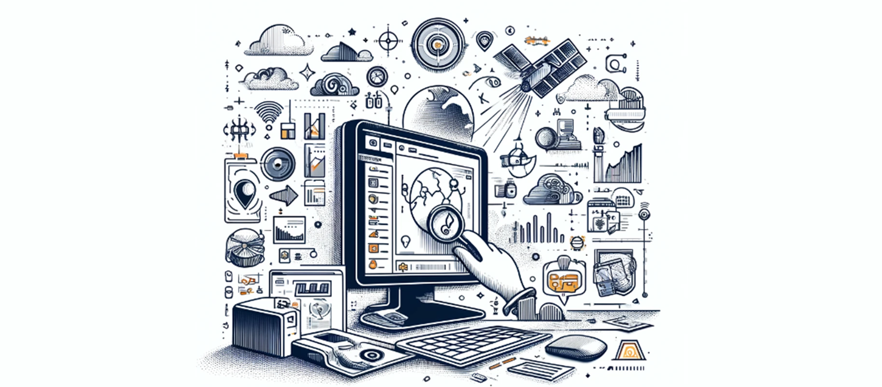
Step 3: Data Acquisition
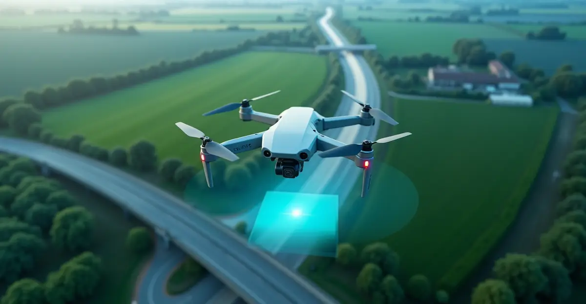
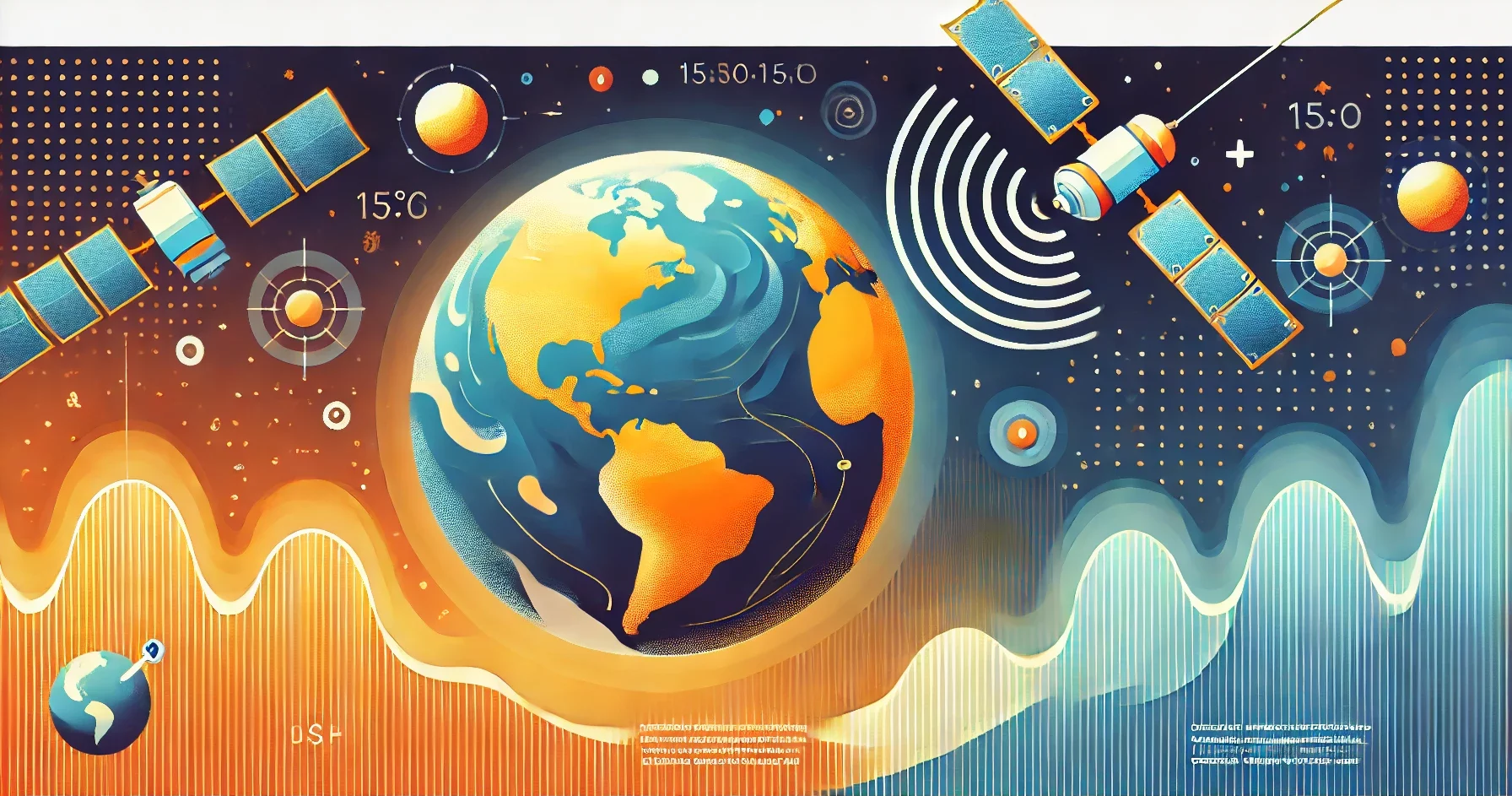
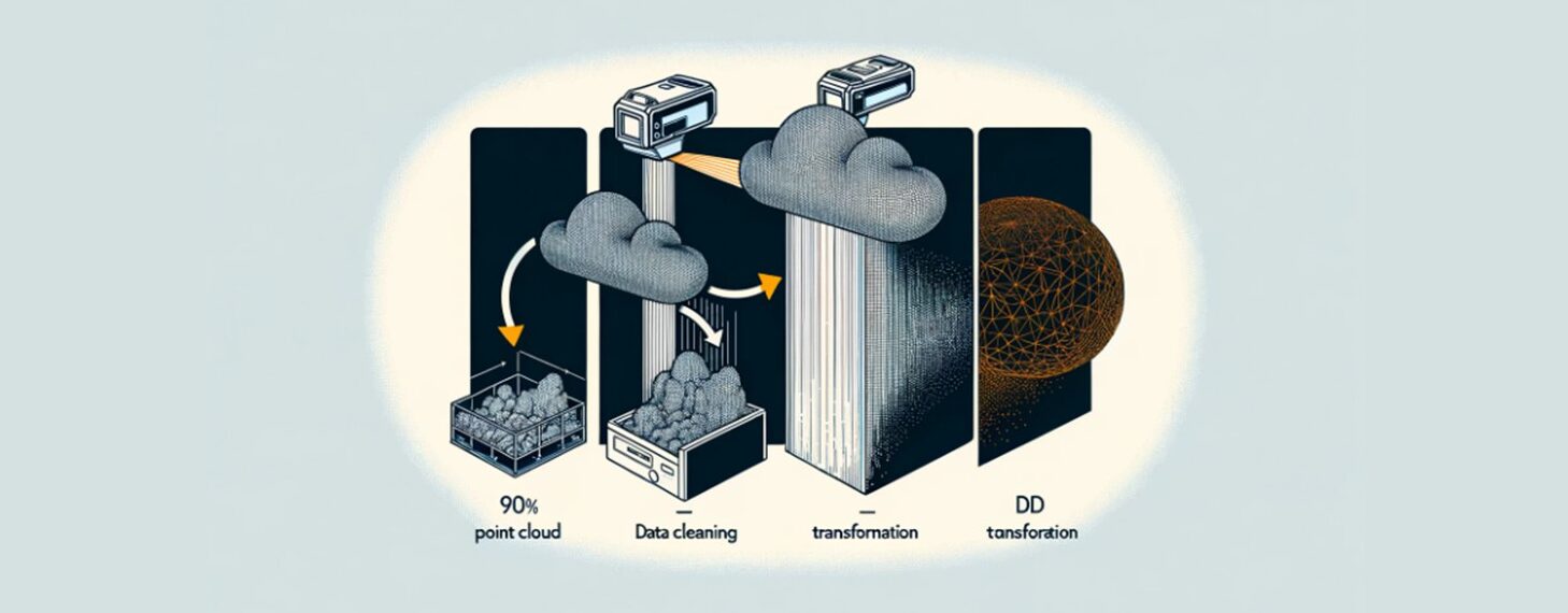
Data acquisition forms the operational layer of the geodetic supply chain. In this phase, geographic and geodetic data are collected using a variety of measurement methods and sensor technologies. Examples include traditional surveying, GNSS measurements, drones, LiDAR scanners, hydrographic surveys, sensor networks, and satellite observations.
More and more data is being collected from space. Satellite systems continuously provide information on changes on Earth, such as land subsidence, sea-level rise, vegetation growth, air quality, and urban growth. Radar observations (SAR—Synthetic Aperture Radar) in particular make it possible to monitor ground movements with millimeter precision, regardless of cloud cover or daylight conditions.
The European Earth observation program Copernicus, one of the largest Earth observation programs in the world, plays a key role in this.
Within this program, the Sentinel satellites collect data on land, sea, atmosphere, climate, and emergencies. Sentinel-1 provides radar images for InSAR analyses, Sentinel-2 offers high-resolution optical images for land use and vegetation monitoring, while other Sentinel missions collect ocean and atmospheric data, among other things.
Drones and LiDAR systems are also increasingly being used to quickly and accurately map infrastructure, nature reserves, flood defenses, construction sites, and urban environments.
Hydrographic survey vessels also provide detailed information on waterways, rivers, coastal areas, and the seabed.
The enormous amount of data collected through these systems serves as the raw material for GIS, digital twins, climate models, asset management, autonomous systems, and numerous other applications. Data acquisition thus forms an essential link between the fundamental geodetic infrastructure and the ultimate societal applications.
Step 4: Application and Decision-Making
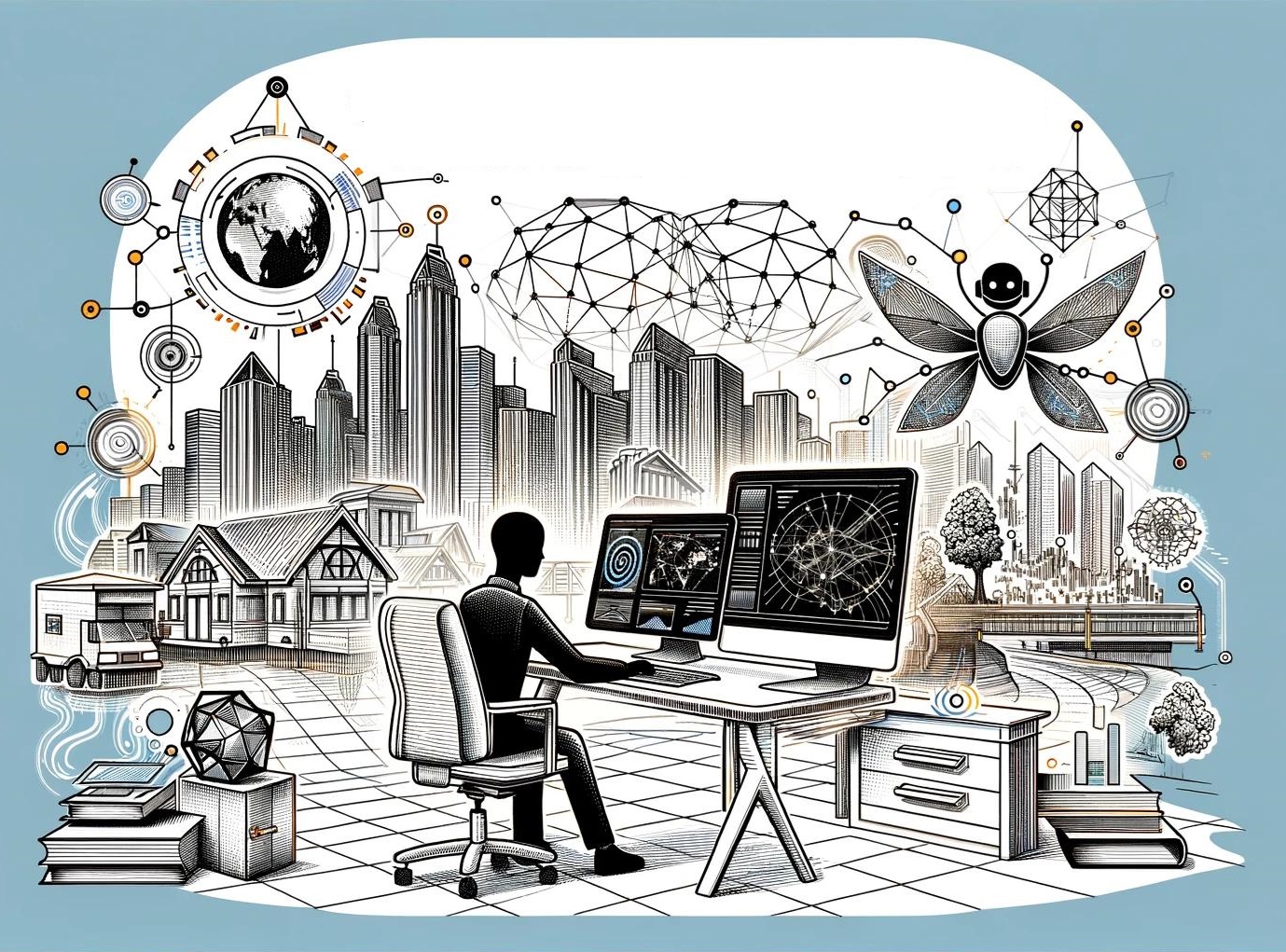
Application and decision-making form the final link in the geodetic supply chain. Here, the collected geodetic and geographic data is converted into information that supports organizations in policy, management, and operational processes. Examples include GIS systems, digital twins, infrastructure management, climate adaptation, agriculture, energy supply, defense, logistics, mobility, and urban development.
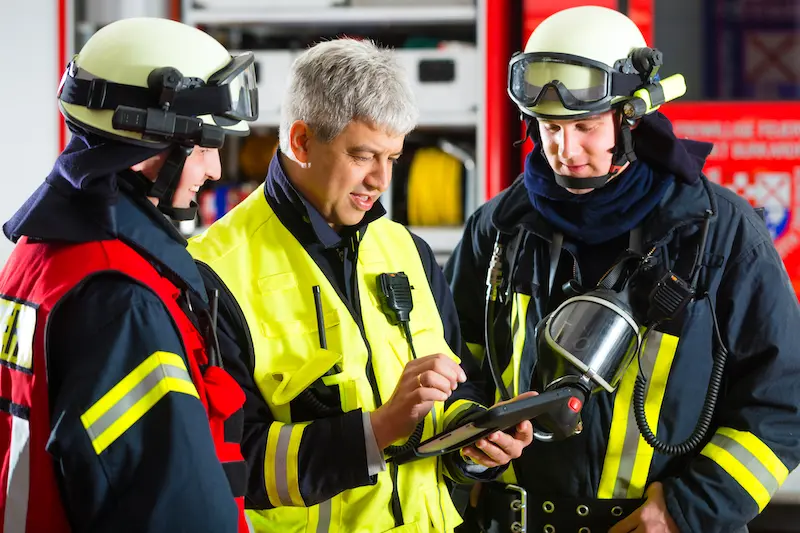
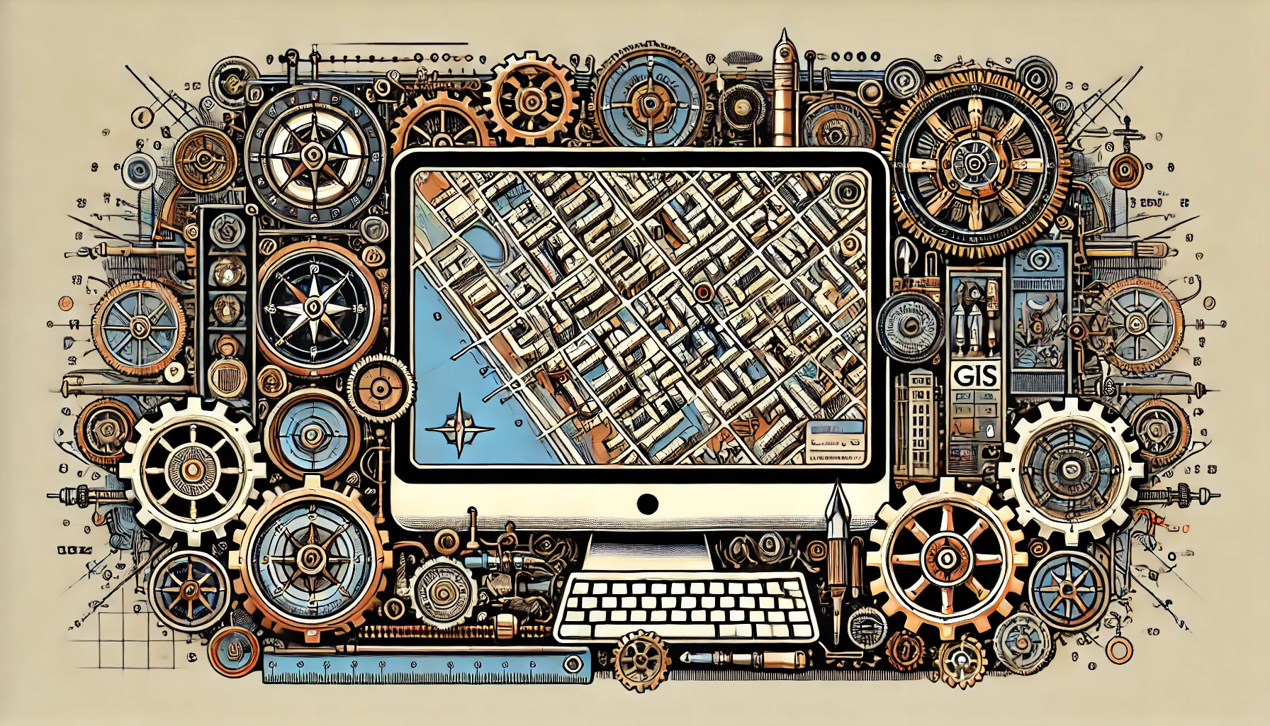
Geographic Information Systems (GIS) play a central role in this. GIS is now used in virtually all sectors of society. Governments use GIS for land-use planning, permitting, and asset management. Water authorities use GIS for water management and climate adaptation. Energy companies use GIS to manage electricity and gas networks, while logistics organizations apply GIS for route optimization and location analysis. GIS has also become indispensable in defense, telecommunications, agriculture, nature conservation, public safety, and the construction sector.
A key development is the emergence of digital twins. This involves combining geographic data, sensor data, and 3D models into a digital representation of the physical world. Digital twins are increasingly being used for urban development, infrastructure management, water safety, mobility, and the energy transition.
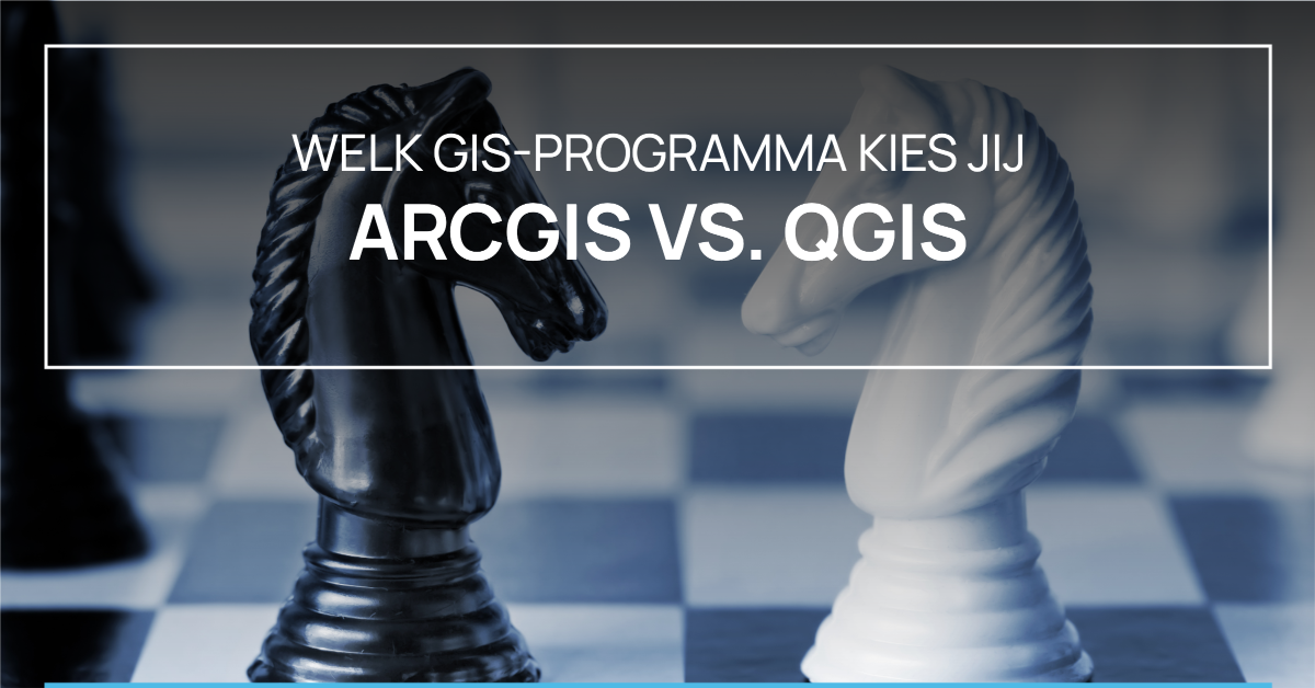
At the same time, a significant shift is taking place within the GIS landscape in the Netherlands and neighboring countries. More and more organizations are opting for the open-source GIS platform QGIS. Municipalities, provinces, water boards, consulting firms, utility companies, and research institutions are switching from traditional commercial GIS solutions to QGIS because of its flexibility, low licensing costs, active international user community, and excellent integration capabilities with open standards and modern data sources.
QGIS is also growing rapidly within Europe. Government organizations in the Netherlands, Germany, Belgium, France, Switzerland, Italy, and the United Kingdom, among others, are increasingly using QGIS as a strategic GIS platform. This development aligns well with broader European ambitions regarding digital sovereignty, open standards, and interoperability.
The information made available through GIS systems and digital twins ultimately supports decision-making at all levels—from predicting flood risks and planning new residential areas to managing energy grids, monitoring nature reserves, and supporting defense operations. As such, this final link is where the value of the entire geodetic supply chain truly becomes visible to organizations and society.
Most users only see the map or the application. But behind every map lies a chain of measurements, reference systems, and quality control. Without a reliable geodetic foundation, the following issues arise:
This is precisely why UN-GGIM (United Nations Global Geospatial Information Management) emphasizes the importance of sustainable geodetic infrastructure worldwide: an infrastructure that is long-lasting, reliable, and internationally interoperable.
UN-GGIM brings together countries, research institutions, and international organizations to improve the coordination of geospatial information. A key component of this is the Global Geodetic Reference Frame (GGRF). Key themes:
Capacity building is particularly crucial: many countries do not yet have a geodetic network with full coverage or sufficient specialized expertise.
The geodetic chain is changing rapidly. Here are a few trends that are garnering significant attention worldwide.
A supply chain is only as strong as its weakest link. In the field of geodesy, the following points, among others, are critical:

These risks highlight why training, standardization, and international cooperation are so important.
For government agencies, water authorities, energy companies, engineering firms, and GIS organizations, this means that geodesy is no longer a support function, but a strategic core competency.
Organizations that invest in modern geodetic knowledge—such as GNSS, InSAR, LiDAR, reference systems, quality management, and GeoAI—are building a robust information infrastructure that is essential for climate adaptation, infrastructure management, and digital transformation.
The geodetic supply chain is the foundation of our digital and physical world. From satellites and atomic clocks to maps, drones, and digital twins: everything starts with reliable location and time information.
UN-GGIM (United Nations Global Geospatial Information Management) emphasizes worldwide that sustainable geodetic infrastructure is a basic public service. Anyone who wants to understand the future of geoinformation, climate monitoring, mobility, and infrastructure must therefore look not only at the applications, but specifically at the geodetic chain that underlies them.
That chain is largely invisible—but without it, the rest doesn’t work.
Want to learn more?