
 Geo-ICT Training Center, Netherlands offers more than 150 courses organized into the following categories.
- Everything about QGIS – QGIS-certified courses
- Artificial Intelligence – Real-world (geo) applications of AI
- Basic Registries – BAG, WOZ, BGT, BRO, KAD, PDOK
- Construction and Civil Engineering – Digital dimensioning and BIM
- CAD – Creating detailed drawings and models
- Data Analysis – Interpreting and analyzing geodata
- Databases – Organizing and making data accessible
- Data Management – Managing and applying data
- Defense – Applying Geo-Intelligence in Defense
- Drones and Remote Sensing – Scans and satellite geodata
- Extract, Transform, Load – Conversions with ETL and ELT
- Geodesy and Hydrography – The foundation of all geoinformation
- GeoGaming – Using 3D models in games
- GeoMarketing – Applying GIS in market analysis
- Healthcare – Applying GIS in healthcare
- GIS– Visualizing and analyzing geospatial data
- Google – Applying Google Maps and Google Earth Engine
- Internet of Things – The world of geosensors
- Cables and Pipelines – Tracking, managing, and installing
- Climate – Analyzing satellite data and identifying patterns
- Agriculture – Applying GIS in agriculture
- Education and Retraining – Geo-ICT in education
- Programming Languages – Various languages and combinations with GIS
- Python – Various Python development courses
- Land Use Planning – Creating digital environmental plans
- Visualization and WebGIS – Dashboards and geo-portals
- Workflows – AI agents that perform actions autonomously
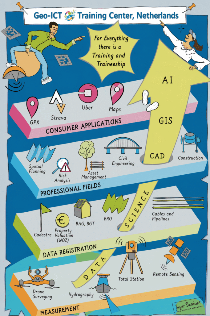
Geo-ICT, or Geographic Information and Communication Technology, encompasses the use of technology to acquire, manipulate, analyze, manage, and present geographic information. It integrates geographic data with information and communication technologies to solve complex problems related to geography, spatial analysis, and location-based services. Examples of Geo-ICT applications include Geographic Information Systems (GIS), Remote Sensing, Global Positioning System (GPS), location-based services, and spatial analysis. These technologies play a crucial role in various fields, such as urban planning, environmental and nature conservation, transportation, agriculture, and disaster management. We offer various courses and blended learning programs in this field, organized into different categories.