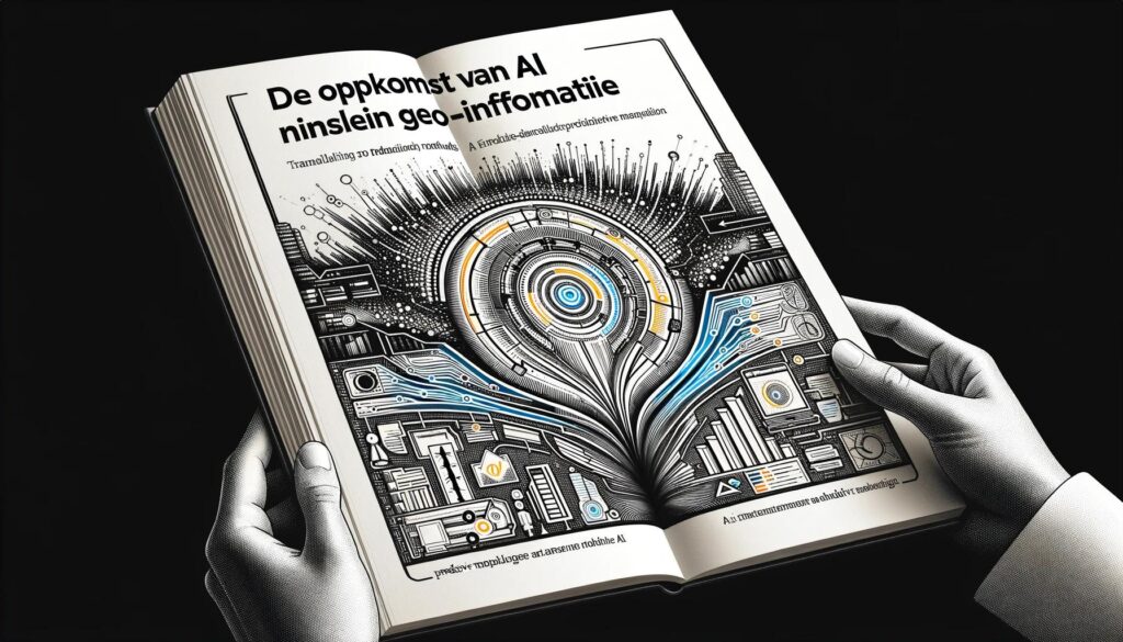
In this article, we explore the revolutionary impact of artificial intelligence on QGIS projects. By integrating AI, such as with the QGIS Segmenting plugin, users can analyze geospatial data faster and more accurately, as well as segment landforms. Discover how this technology can take your geo-information projects to new heights and inspire both professionals and enthusiasts.
In the fascinating world of Geographic Information Systems (GIS), recent breakthroughs in artificial intelligence (AI) mark a revolutionary shift. With QGIS, one of the most advanced open-source platforms for geo-information, at the forefront, the integration of AI not only unlocks new possibilities for data analysis and management but also redefines how professionals and enthusiasts approach the complexity of geospatial challenges. The QGIS Segmenting Plugin using AI models symbolizes this change; it is a tool that not only increases efficiency but also improves the accessibility of advanced geospatial analyses.
By harnessing the power of AI, users can now segment landforms with unprecedented speed and precision, representing a huge leap forward in how we interact with our physical world. This transformative potential is not only exciting for those directly involved in geographic analysis but also serves as an inspiration for a wide range of sectors that rely on accurate and accessible geo-information. Let’s dive into how this technological advancement can elevate your projects to new heights and discover how you can get started with this groundbreaking tool in your own QGIS environment.
What is QGIS?
QGIS is known in the world of Geographic Information Systems as a powerhouse; it is an open-source platform that allows everyone, from students to professionals, to conduct in-depth geospatial analysis. What makes QGIS so special is not only its versatility and accessibility but also its continuous evolution through contributions from a global community. With features that include map creation, spatial analysis, and data management, the platform offers a rich toolkit for anyone involved in the geo-information sector.
The true beauty of QGIS lies in its ability to simplify complex geo-information and make it accessible to a broad audience. Whether you are a beginner taking your first steps into GIS or an experienced professional looking for advanced analysis features, QGIS provides the tools you need. And with the addition of AI-driven plugins, such as the Segmenting Plugin using AI models, the power of QGIS is further expanded. These plugins enable users to process data more quickly and accurately using artificial intelligence, paving the way for innovation within the sector. Want to learn how to use these powerful tools in action? Check out our QGIS Basic Course or, if you’re already familiar with QGIS, the Advanced QGIS Course may be more suitable.
Integrating AI into QGIS opens up a world of possibilities. From segmenting landforms with unmatched precision to analyzing large datasets in a fraction of the time it previously took, the potential is enormous. This not only makes projects more efficient but also allows us to ask new questions and seek answers in ways we could not have imagined before.
The integration of artificial intelligence (AI) into the geo-information sector is nothing short of a revolution. Slowly but surely, AI is transforming the way we collect, analyze, and interpret data, opening the door to unprecedented possibilities. The impact of AI is so profound that it not only increases the efficiency and accuracy of our analyses but also enables us to recognize complex patterns that were previously elusive.
Using AI in geospatial analysis allows us to process data faster and make more insightful decisions. With techniques like machine learning and deep learning, we can now process enormous datasets, enabling us to build more detailed and accurate geospatial models. This is a game-changer for sectors such as urban planning, environmental management, and even agriculture, where precision farming is playing an increasingly important role.
A key aspect of this advancement is the accessibility that tools like QGIS provide. With plugins integrating AI functionalities, advanced technology becomes available to a broad audience, allowing even non-specialists to leverage the power of AI in their geo-information projects. This democratizes access to advanced analytical tools, giving more people than ever the chance to contribute to and benefit from the advantages of geo-information technology.
In summary, the rise of AI within the geo-information sector is not just a technological advancement; it is a cultural shift that is changing the way we understand and interact with the world around us. With every step forward, we bring the digital and physical worlds closer together and open new paths for innovation and discovery. Want to learn more about the fundamentals of artificial intelligence? Check out the Artificial Intelligence Fundamentals Course or one of our other AI Courses.
By harnessing these benefits, QGIS users can not only execute their projects more efficiently and accurately, but also explore new opportunities within their field. Whether it’s for research, commercial applications, or public services, the QGIS Segmenting Plugin offers a powerful tool to tackle the challenges of today and tomorrow.
Now that we’ve seen what the QGIS Segmenting Plugin using AI models can do, let’s explore some potential real-world examples that already illustrate the power of this tool. These examples show how AI and geospatial analysis can work together to solve complex problems and provide new insights.

These examples demonstrate that the QGIS Segmenting Plugin, through the integration of AI, has a wide range of applications that can be of great value to various sectors. From protecting our natural world to supporting urban growth and feeding the population, the possibilities are as diverse as they are impactful.
What all these applications have in common is that they illustrate how the combination of QGIS and AI is transforming the way we collect and analyze data, enabling us to work smarter and more sustainably. By practically applying these technologies, we can not only address current challenges but also anticipate future needs.
The world of geospatial information is constantly evolving, and the future looks bright with innovations already emerging on the horizon. The integration of AI into QGIS, as we’ve seen with the Segmenting Plugin, is just the beginning. There are numerous developments on the way that will further transform the way we work with geo-information. Let’s take a look at some of the most promising innovations:
These innovations promise not only to improve the efficiency and effectiveness of geospatial analyses but also to make advanced technologies more accessible to a wider audience. The potential for future developments within QGIS and AI is enormous, and it’s an exciting time to be part of this community. By staying informed about these trends and participating in their development, we can help shape the future of geo-information together.
As we conclude our journey through the world of QGIS and AI, it’s clear that the integration of artificial intelligence into geospatial analysis is not just a promise for the future, but a reality of today. The QGIS Segmenting Plugin using AI models perfectly illustrates how technological innovations can transform our approach to geo-information, making tasks more efficient and accurate.
The real-world use cases we’ve explored, along with the exciting innovations on the horizon, demonstrate that the possibilities for AI in the geospatial sector are limitless. From environmental conservation to urban planning and agriculture, the impact of AI in QGIS spans across countless domains, offering new opportunities for research, development, and innovation.
Your role in this evolution cannot be underestimated. Whether you are a professional in the geo-information sector, a student exploring the world of GIS, or an enthusiastic hobbyist, your contribution is crucial. By delving into the possibilities of AI within QGIS, you can not only elevate your own projects but also contribute to a future where geospatial analysis is more central and impactful than ever before.
Let’s shape the future of geo-information together, armed with the power of QGIS and AI. The possibilities are as endless as our imagination, and the adventure is just beginning. Dare to dream, dare to discover, and dare to innovate.