Contact
Click here if you have a question. You can reach us by phone, WhatsApp, or email, and we aim to reply within one business day.
Free and opensource software
We believe the world belongs to everyone. GIS and geo-information should be accessible and affordable for all. That’s why we work exclusively with free and open-source software.
Lesson format
Our lessons take place through individual online sessions with a specialist. Artificial Intelligence is used to create customized learning materials that match your goals and experience level.
Entry Level
All participants hold at least a BSc, MSc, or PhD degree, ensuring a professional and advanced learning environment.


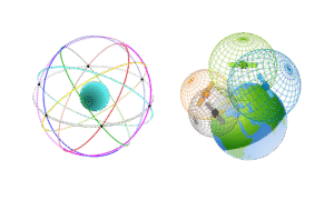
 The geodetic supply chain is the network of people, technologies, and organizations that together create and maintain accurate positioning and spatial data for global use — from satellites in orbit to surveyors on the ground. The worldwide geodetic supply chain is coordinated through international organizations like the UN-GGIM and the International Association of Geodesy. They define global reference systems such as the International Terrestrial Reference Frame (ITRF). Satellite constellations like GPS, Galileo, and BeiDou form the core infrastructure for positioning data. Ground-based reference stations and observatories maintain and calibrate these systems. Regional and global data centers process and distribute accurate geodetic data worldwide. National mapping agencies apply these standards locally to create coordinate systems and maps. Private companies such as Trimble, Esri, and Leica provide the technology and tools to use this data. Training centers and universities educate the professionals who operate within this ecosystem. This collaboration ensures reliable positioning and mapping for science, infrastructure, and navigation. Together, these layers create a seamless global network that powers the modern geospatial world.