• Searching...

Result 49 - 59 of 59 courses

QGIS and OpenLayers

All of QGIS
  • Certified
  • 1 day

QGIS and Python

Python
  • Certified
  • 3 days

QGIS Basics

All of QGIS
  • Certified
  • 3 days

QGIS Models

All of QGIS
  • Certified
  • 1 day

R GGPlot

R Programming
  • Certified
  • 2 days

R Programming

R Programming
  • Certified
  • 3 days

R Spatial

R Programming
  • Certified
  • 2 days

Remote Sensing

Earth Observation
  • Certified
  • 3 days

Spatial Data Science with ArcGIS

GeoAI
  • Certified
  • 2 days

Spatial Data Science with QGIS

GeoAI
  • Certified
  • 2 days

WebODM

Drones
  • Certified
  • 2 days
1 3 4 5

Why choose a course at Geo-ICT Training Center, The Netherlands?

55

Courses

82

Blended Learnings

1200

Participants per year

  • All courses are conducted in Virtual Classrooms.
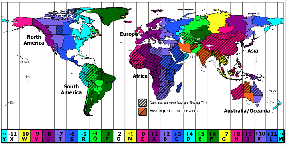
  • Our courses typically follow the Dutch time zone, with sessions from 9:00 AM to 12:00 PM and 1:00 PM to 4:00 PM. However, for participants in other time zones, we adjust the course timings based on mutual agreement.
  • The course includes various exercises, allowing you to apply what you’ve learned.
  • After completing the course, you’ll receive a participation certificate, available for download upon submitting your evaluation form.

Geo-ICT Training Center, The Netherlands - Participants in various Time Zones


Frequently Asked Questions about OpenLayers

OpenLayers is an open-source JavaScript library for building interactive web maps. It supports displaying and interacting with spatial data from various sources like WMS, GeoJSON, and tile services (e.g., OpenStreetMap). Key features include panning, zooming, custom styling, and integration with map services like Google Maps. OpenLayers is ideal for creating customizable, browser-friendly maps for applications like urban planning, environmental monitoring, or real-time data visualization.