• Searching...

Result 13 - 24 of 44 courses

Google Earth Engine Advanced

Google
  • Certified
  • 2 days

Google Earth Engine Applications

Google
  • Certified
  • 1 day

Google Earth Engine Basics

Google
  • Certified
  • 2 days

Google Earth Engine ChatGPT

Google
  • Certified
  • 1 day

Google Earth Engine QGIS

Google
  • Certified
  • 1 day

Google Earth Engine SDG

Google
  • Certified
  • 1 day

Introduction to Data Management

Data Management
  • Certified
  • 1 day

Machine Learning Python

Python
  • Certified
  • 3 days

Machine Learning with R

R Programming
  • Certified
  • 3 days

MongoDB Spatial

Databases
  • Certified
  • 1 day

Multi-Beam Survey

Geodesy
  • Certified
  • 4 days

PostGIS and PostgreSQL

Databases
  • Certified
  • 3 days

Why choose a course at Geo-ICT Training Center, The Netherlands?

55

Courses

82

Blended Learnings

1200

Participants per year

  • All courses are conducted in Virtual Classrooms.
  • Our courses typically follow the Dutch time zone, with sessions from 9:00 AM to 12:00 PM and 1:00 PM to 4:00 PM. However, for participants in other time zones, we adjust the course timings based on mutual agreement.
  • The course includes various exercises, allowing you to apply what you’ve learned.
  • After completing the course, you’ll receive a participation certificate, available for download upon submitting your evaluation form.
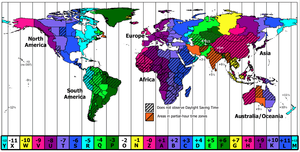
Geo-ICT Training Center, The Netherlands - Participants in various Time Zones


Frequently Asked Questions about Google Earth Engine Advanced

In this course, you will learn advanced techniques for processing geospatial data with Google Earth Engine, including vegetation indices, machine learning applications such as supervised classification and Random Forest, environmental monitoring, and developing interactive maps.

Vegetation indices such as NDVI and EVI are used to analyze the health and density of vegetation. In this course, you will learn how to calculate and apply these indices for environmental monitoring and agricultural monitoring using Google Earth Engine.

Yes, this course includes the use of machine learning techniques, such as supervised classification and Random Forest, for analyzing and classifying geospatial data in Google Earth Engine.

You will learn how to use Google Earth Engine for environmental monitoring by applying land cover classification and change detection techniques. This is crucial for projects focused on sustainability and conservation.

The course covers the development of advanced visualization techniques, including interactive map applications and time series, to make complex geospatial data understandable and accessible..

Upon completing the course, you will have advanced skills in Google Earth Engine, enhancing your career opportunities in various fields within the geospatial sector, such as GIS expertise, environmental management, and agricultural monitoring.