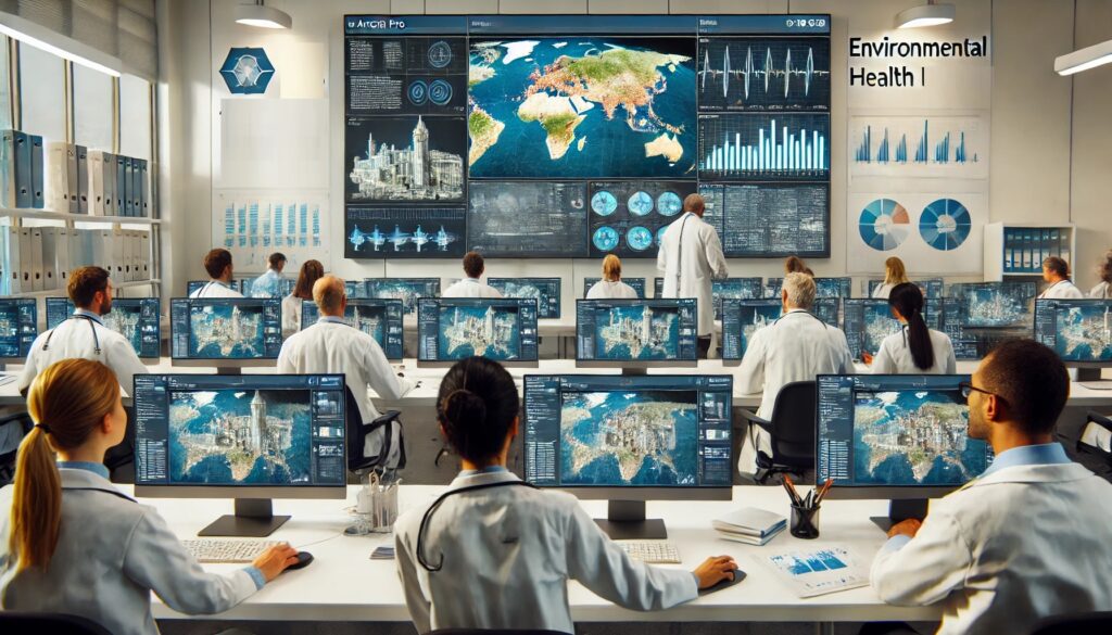
Healthcare has an important spatial component. People’s health, the spread of diseases, environmental factors, and access to healthcare facilities vary by region. Geo-ICT helps combine health data with information on population, living environment, infrastructure, and healthcare facilities, and reveals spatial patterns. In this course, you will learn how geographic information is applied in health geography, epidemiology, healthcare accessibility, and the analysis of health disparities and environmental factors. This will provide you with a broad foundation for further specialization within the field of healthcare.
Geographic information plays a crucial role in healthcare by improving decision-making and access to care. GIS technology helps collect and analyze spatial data. This enables health authorities to gain better insight into the spread of diseases and high-risk areas. This is essential for managing health crises such as the COVID-19 pandemic.
GIS enables healthcare professionals to visualize real-time data. This helps with planning emergency response and optimizing healthcare services. For example, by mapping the locations of hospitals and clinics, it becomes easier to understand where shortages exist and where additional resources are needed. In addition, detailed maps can be created for various health-related topics:
COVID-19 maps: To track the spread and identify hotspots.
Cholera outbreak maps: To quickly locate and contain outbreaks.
Maps of health conditions near major industrial sites: To monitor the impact of industrial activities on public health.
Maps of health conditions among people living near high-voltage power lines: To investigate potential health risks in these areas.
Traffic accident maps: To analyze patterns and improve traffic safety measures.
In addition, GIS supports environmental and health interventions. By integrating data on air quality and noise pollution, professionals can better assess the impact of environmental pollution on public health and take targeted measures.
Finally, GIS promotes access to healthcare by mapping areas with limited healthcare facilities. This makes it possible to implement targeted improvements and make care more accessible to vulnerable populations. GIS thus plays an indispensable role in promoting public health and addressing global health challenges.
No experience with QGIS? Start by taking the QGIS basics course to get off to a good start.
The Importance of Geospatial Data
Geospatial data plays an indispensable role in healthcare, especially in improving decision-making and healthcare planning. By integrating geospatial data, healthcare professionals can perform more accurate analyses and make better-informed decisions.
Benefits of geospatial data:
Better understanding of health patterns: Geospatial data helps visualize health trends and identify areas with an increased risk of disease.
More effective emergency response: During crises, such as pandemics or natural disasters, geospatial data provides crucial information for coordinating relief efforts and identifying the most affected areas.
Improved access to healthcare: By analyzing where healthcare facilities are most needed, policymakers can plan more effectively and allocate resources more efficiently.
At Geo-ICT, you’ll learn how to effectively use geospatial technology to realize these benefits. The QGIS Healthcare course focuses on developing skills to collect, analyze, and visualize geospatial data. This enables you to make better healthcare decisions and improve healthcare outcomes.
In addition, the course offers practical knowledge on how geospatial data can contribute to environmental management and public health. By integrating data on air quality, noise pollution, and other environmental factors, professionals can better understand the impact of these factors on health and plan targeted interventions.
Geospatial data is therefore essential for promoting public health and addressing health challenges. By investing in this technology, you can contribute to a healthier and safer society.
What You’ll Learn in the QGIS Healthcare Course
Fundamentals of GIS in Healthcare
GIS, or Geographic Information Systems, form the foundation for advanced analyses and visualizations in healthcare. These systems help map and analyze health data, enabling healthcare professionals to make better-informed decisions.
The core principles of GIS in healthcare are:
Data collection and integration: GIS makes it possible to collect and integrate various types of data. This includes health statistics, demographic data, and environmental information.
Data visualization: By using maps and other visual tools, complex datasets can be made understandable. This helps identify health risks and plan interventions.
Spatial analysis: GIS enables healthcare providers to analyze patterns and trends. This is essential for detecting disease outbreaks and assessing the impact of environmental factors on public health.
At Geo-ICT, you’ll learn how to effectively apply GIS in healthcare. The QGIS Healthcare course offers comprehensive training in the use of GIS software for health data analysis and visualization. You’ll gain hands-on experience creating maps and performing spatial analyses. This is crucial for improving public health.
By using GIS, healthcare providers can not only improve access to care but also respond more effectively to emergencies and health crises. The ability to quickly and accurately visualize and analyze data makes GIS an indispensable tool in modern healthcare.
In short, the basic principles of GIS in healthcare revolve around collecting, integrating, and visualizing data to achieve better health outcomes. With the right training and tools, such as those offered by Geo-ICT, you can make a significant contribution to promoting public health.
Analyzing Healthcare Accessibility
Analyzing healthcare accessibility is essential for improving healthcare services and addressing inequalities. Using GIS technology, we can accurately determine where the greatest shortages of healthcare services exist and where interventions are most needed.
How GIS Helps Analyze Healthcare Accessibility:
Visualization of healthcare facilities: GIS enables us to map the locations of hospitals, clinics, and other healthcare centers. This helps identify areas with limited access to healthcare.
Analysis of demographic data: By combining demographic data with geographic data, we can understand which population groups are most vulnerable and where the greatest need for healthcare facilities exists.
Optimization of healthcare networks: GIS can help plan and optimize networks of healthcare facilities. This includes identifying the best locations for new healthcare centers and improving existing facilities to better meet the needs of the population.
At Geo-ICT, you’ll learn how to perform these advanced analyses using QGIS. The QGIS Healthcare course provides you with the tools and knowledge to effectively use geospatial data to improve access to healthcare.
In addition, GIS can help monitor the effectiveness of interventions and plan future healthcare facilities. By continuously collecting and analyzing data, healthcare providers and policymakers can make better-informed decisions and optimize healthcare services to improve public health.
In short, analyzing healthcare accessibility with GIS is a powerful tool for improving care and addressing health disparities. With the right training, such as that offered by Geo-ICT, you can make a valuable contribution to promoting public health.
Why Choose Our QGIS Healthcare Course?
Choosing the QGIS Healthcare course at Geo-ICT offers many benefits that will enhance your professional skills. Our course is taught by experienced professionals with in-depth knowledge of QGIS and the healthcare sector. They provide hands-on training so you can immediately apply what you learn. We ensure that the course content is always up-to-date. You’ll learn using the most recent and relevant information and tools. We provide continuously updated course materials and combine theory with practice, including exercises and case studies.
Our course provides you with advanced skills in using QGIS for healthcare applications. You’ll learn to use QGIS effectively to collect, analyze, and visualize health data. In addition, you’ll gain in-depth knowledge of how GIS technology is applied to healthcare policy and management. By choosing Geo-ICT, you are investing in your future and contributing to a healthier world. With our training and support, you will be well-prepared for the challenges of modern healthcare and the possibilities of GIS technology.
The first session begins with an overview of the QGIS interface. After that, participants will consult and visualize various health maps. Participants will learn how to enable and use map layers. They will also learn about the different types of healthcare geodata available and how to view and analyze them.
Day 2: GIS / Collecting and Making Health Data Usable
The student retrieves data from various portals. The data is cleaned and made usable. This includes maps of populations, the HIV virus, COVID-19, and mortality rates. The student works through a number of case studies.
Learning Objectives for the QGIS Healthcare Course
Understanding GIS Technology in Healthcare:
Students learn the fundamentals of GIS (Geographic Information Systems) and how they can be applied to create detailed maps and analyses for various healthcare applications.
Analyzing Healthcare Accessibility and Facilities:
Students develop skills to use GIS data to analyze and improve the accessibility and availability of healthcare services by mapping healthcare facilities and identifying areas with limited access to care.
Monitoring environmental factors that affect public health:
Students learn how to use GIS data to monitor environmental factors that may affect public health, such as air quality, noise pollution, and the presence of green spaces.
Advanced data analysis and visualization:
Students develop the skills to perform advanced GIS analyses and visualizations using ArcGIS Pro to identify patterns and trends relevant to healthcare policy and management.
Want to know more?
Do you have questions about the course content? Or are you unsure whether the course aligns with your learning goals or preferences? Would you prefer an in-house or private course? We’d be happy to help.
Frequently Asked Questions About the QGIS Healthcare Course
The QGIS Healthcare Course is a specialized training program in which participants learn to use QGIS to analyze and visualize health data.
The course is designed for both new and experienced geoinformatics professionals, companies in the geoinformatics sector, people seeking career transitions, and educational institutions that wish to explore the use of QGIS in the healthcare sector.
Geo-ICT Training Center offers high-quality, certified courses taught by experienced instructors, with a focus on practical applications within the geospatial sector.
Topics covered include health data analysis, geospatial data visualization, and map creation for public health applications.
Request a quote
Search the website
Find courses, MOOC content, articles and more in one place.