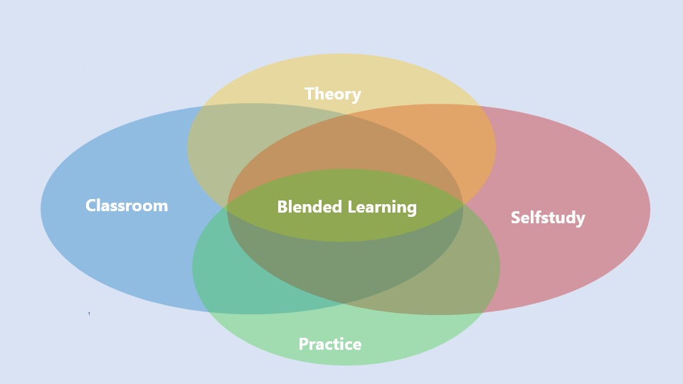
Blended Learning is an educational approach that combines live, face-to-face online instruction with digital learning experiences. This approach integrates the strengths of both live virtual and self-paced digital environments to create a flexible, personalized learning experience for students.
Key components of Blended Learning include:
- Face-to-face instruction: Traditional teaching methods like lectures, discussions, and in-class activities.
- Online learning: Digital content delivered through video lessons, interactive modules, and online discussions.
- Student control: Learners have the flexibility to control the time, pace, path, or place of their learning through online components.
Blended learning is increasingly popular as it leverages technology to provide more individualized instruction, support diverse learning styles, and combine synchronous (real-time) with asynchronous (self-paced) experiences.


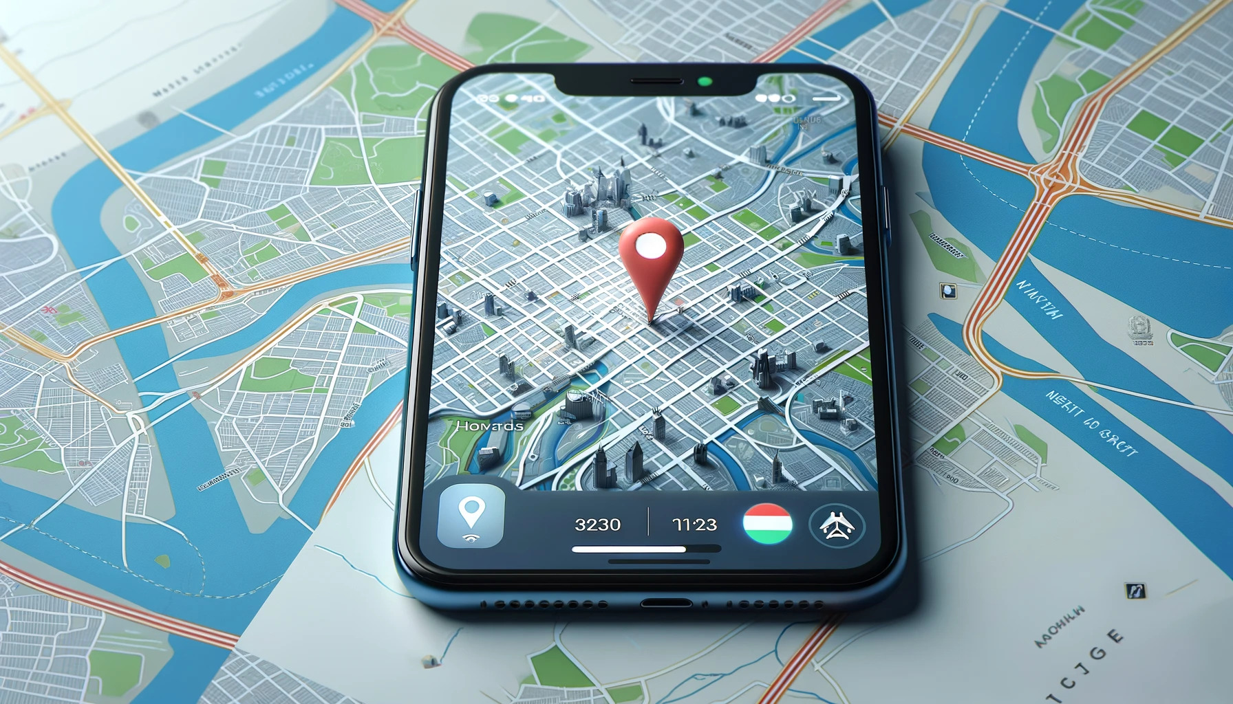
 The geodetic supply chain is the network of people, technologies, and organizations that together create and maintain accurate positioning and spatial data for global use — from satellites in orbit to surveyors on the ground. The worldwide geodetic supply chain is coordinated through international organizations like the UN-GGIM and the International Association of Geodesy. They define global reference systems such as the International Terrestrial Reference Frame (ITRF). Satellite constellations like GPS, Galileo, and BeiDou form the core infrastructure for positioning data. Ground-based reference stations and observatories maintain and calibrate these systems. Regional and global data centers process and distribute accurate geodetic data worldwide. National mapping agencies apply these standards locally to create coordinate systems and maps. Private companies such as Trimble, Esri, and Leica provide the technology and tools to use this data. Training centers and universities educate the professionals who operate within this ecosystem. This collaboration ensures reliable positioning and mapping for science, infrastructure, and navigation. Together, these layers create a seamless global network that powers the modern geospatial world.