Home
Career Paths
Blended Learnings
Looking for experts?
About Us
Home
Blogs
The Indispensable Role of GIS in Nature Conservation
The Indispensable Role of GIS in Nature Conservation
September 23, 2024
Geo-ICT Editorial Team
Content
Content
Geo-ICT Editorial Team
Our editorial team consists of several copywriters who are part of the Marketing Team.
Stay updated with the latest in Geo-ICT—straight to your inbox every week.
Geo-ICT Editorial Team
Our editorial team consists of several copywriters who are part of the Marketing Team.
Stay updated with the latest in Geo-ICT—straight to your inbox every week.
Geo-ICT Editorial Team
Our editorial team consists of several copywriters who are part of the Marketing Team.
Stay updated with the latest in Geo-ICT—straight to your inbox every week.
Related posts
From GeoGuessr to GIS Professional: How a Hobby Can Evolve into a Career
GIS in Healthcare: A Revolution in Health Management and Epidemiology
The Indispensable Role of GIS in Nature Conservation
What is GIS? Explore the possibilities of GIS software
Revolutionize your GIS projects with the AI-powered QGIS segmenting plugin
Top 5 Best SQL Practice Platforms 2024
Top 7 Best QGIS Plug-ins for Your Projects 2024
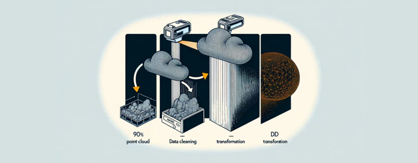
From Point Cloud to 3D Model: A Guide to Point Cloud Data Conversion
Search the website
Search...