 We provide highly qualified geospatial specialists (MSc and PhD) for remote positions worldwide and on-site roles within Europe
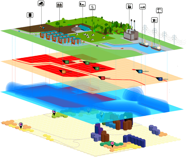
The geospatial sector forms a foundational pillar of today’s digital society. Specialists in this field are essential across industries, combining spatial science, data analytics, and technology to address real-world challenges. Geospatial work involves acquiring, processing, and interpreting location-based data — helping us understand not only where things are, but how they interact across space and time.
Click contact and we’ll send you a selection of professionals that match your needs.
From satellite imagery, aerial photography, and drone data to underground utility networks and sensor feeds, geospatial technologies enable informed decisions in urban planning, environmental management, infrastructure development, and disaster resilience. These tools are no longer niche — they are vital to how modern economies and societies function.
At Geo-ICT, we continuously train and hire GEO and GIS specialists who are ready for both short- and long-term projects. Whether you need additional capacity or specialized expertise for a complex assignment, we can quickly connect you with professionals who fit your requirements. Our talent pool ranges from junior specialists to senior consultants who can often start at short notice.
Tell us what you need — your timeline, technical stack, and project context — and we’ll respond with a tailored shortlist and a clear plan.
Contact us at info@geo-ict.com or through our contact page.