We are looking for college and university graduates throughout the Netherlands with an interest in GIS and geoinformation who can start immediately!
We are looking for college and university graduates throughout the Netherlands with an interest in GIS and geoinformation who can start immediately!
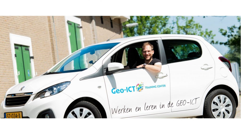
At Geo-ICT Training Center Nederland, you can get started even without a specific Geo-ICT background. We believe that all your previous experiences contribute to your success in the innovative geosector. Curious about our Geo-ICT traineeship? Read on!

Since 2015, Geo-ICT Training Center Netherlands has been offering candidates the opportunity to launch their careers in the geosector. With 250 successful trainees, this is your chance to become part of this sector.
You have a bachelor’s or master’s degree in fields such as Geography, Earth Sciences, Archaeology, Business Administration, Bioinformatics, Biology, Soil Science, Forestry and Nature Management, Chemistry, Cultural Heritage, Data Science, Defense, Animal Management, Ecology, Environment, Geodesy, Geomedia, History, Computer Science, International Business, Coastal and Marine Sciences, Agriculture, Surveying, Environmental Management, Environmental Science, Music Technology, Physics, Plant Sciences, Law, Spatial Development, Tourism, Water Management, Wildlife Management, Mathematics, or Maritime Studies.
At Geo-ICT Training Center in the Netherlands, everyone is a unique individual. Your previously chosen field of study is not important to us. However, we do consider the level of the program you have completed or started.
Start Date
Preparations start right away! We’ll explore which courses can help you maximize your opportunities!
For each trainee, we assess individually which of our courses will strengthen your resume. Every month, we offer various 2-, 3-, or 4-day CAD, GIS, Data, Software, and Geodesy skills courses.
We’re almost always able to place trainees with one of the many clients in our network within 6 weeks.
Apply quickly. We’ll schedule an online interview, and then you’ll:
You’ll take courses with us to get started; GIS analysis software such as QGIS and ArcGIS will be covered. You’ll also work in the field to collect geodata using tools like a total station. Depending on your personal interests, topics such as Python and AI (machine learning) may also be covered if you’re more interested in data engineering or, for example, software development.
During and after these courses, we’ll work together to identify positions and roles in the geospatial sector that might be a good fit for you, such as:
We’ll find you a position with one of our clients. These include consulting firms, agricultural cooperatives, architectural firms, dredging companies, contractors, data analysis firms, municipalities, engineering firms, land registry offices, agricultural businesses, land surveyors, landscape management organizations, ministries, educational institutions, nature conservation organizations, offshore companies, environmental agencies, provincial governments, Rijkswaterstaat, software firms, railways, safety regions, insurance companies, water boards, and housing associations.
Geo-ICT Training Center, the Netherlands, is a leading training institute and staffing agency in the geosector. We specialize in offering a variety of certified courses, such as ArcGIS, AutoCAD, and FME Desktop. In addition to courses, they also offer internships and educational opportunities for those just starting out in the geosector. With a wide range of educational programs and training courses, they are committed to training the next generation of geoinformation specialists.
The traineeship is an entry-level program through which you will be employed by Geo-ICT Training Center. You will take courses and build your resume with our internal support, so that you can prepare yourself specifically for a promising career in the world of geoinformation. At the same time, we will look for a suitable match with one of our clients.
Anyone with a college or university degree is welcome to apply—even without prior experience in geo-ICT. It’s important that you have an affinity for geographic data, maps, or GIS, and that you’re interested in applying geo-information and geo-data.
You can choose from various specializations, including:
From the start, you’ll take practical courses (CAD, GIS, data, software, geotechnical engineering) to build a solid foundation. After that, you’ll typically be placed with a client in the geosector within 4–6 weeks. During the traineeship, you’ll work with Geo-ICT to explore which roles and specializations best match your interests and skills.
No—you can apply even without a specific background in geo-ICT. However, an affinity for maps and geographic data, or an interest in geographic information, is important. Geo-ICT believes that your previous education or other experiences count toward your qualifications.
The traineeship offers a great opportunity to quickly gain practical experience in a growing industry, with a variety of potential roles. You’ll combine learning and working—with guidance, training, and a competitive salary. Plus, there are real opportunities for career advancement: most trainees are hired by the client after the year is up.
You can apply directly through this job listing page and/or simply provide your name, email address, phone number, and cover letter/resume to schedule a no-obligation interview. This is often followed by an online introductory interview.
Yes—the traineeship can be combined with formal education or further studies, for example through the blended learning programs or courses offered by Geo-ICT. This allows you to continue developing your knowledge and skills while working.
After completing the traineeship, you’ll have opportunities in a variety of roles within the geospatial sector, such as surveyor, BAG/BGT administrator, data analyst, GIS operator, software developer, hydrographer, urban planner, BIM administrator, and more. Your interests and area of specialization will help determine your career path.