Looking to take a course on Earth Observation?

Afbeelding van de aarde met een satelliet ervoor. Gemaakt met DallE.

Why Earth Observation Matters

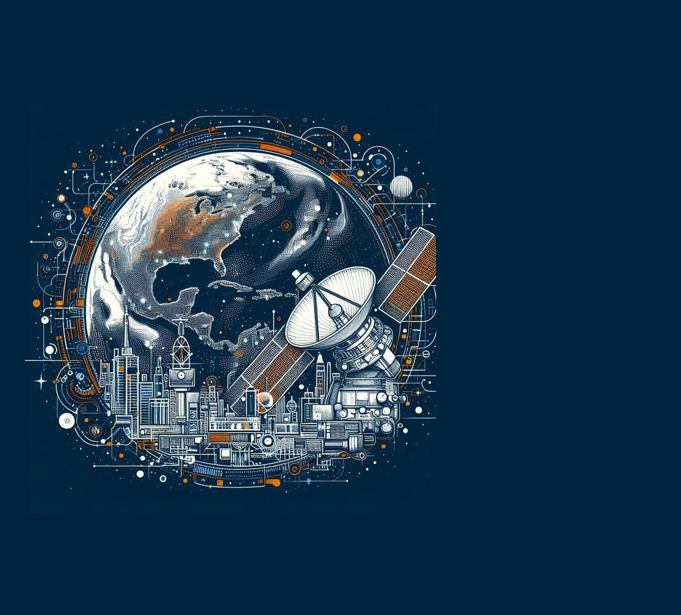
Earth Observation uses satellite, drone, and sensor technologies to monitor and understand our planet. From tracking climate change and deforestation to improving disaster response and urban planning, it provides the insights needed to make smarter, more sustainable decisions.

When combined with GIS tools, Earth Observation allows us to analyze spatial patterns, detect changes, and translate data into real-world impact. It’s an essential skill in today’s data-driven, environmentally focused world.

Earth Observation Courses at Geo-ICT Training Center, The Netherlands

At Geo-ICT, we offer hands-on Earth Observation courses that blend theory with real-world application. Whether you’re new to the field or looking to deepen your expertise, our courses will help you build job-ready skills with satellite imagery, drones, and GIS.

Looking for a place to start?
You might consider our Remote Sensing course—it’s a great way to get hands-on experience with satellite and aerial imagery while learning how to apply those insights in real-world GIS projects.

Why learn Earth Observation with us?

  • Technology meets practice
    Learn how to use EO data in projects related to climate, agriculture, and urban planning.
  • Tools that matter
    Work with platforms like Google Earth Engine, QGIS, Copernicus data, and more.
  • Career-focused
    Gain in-demand skills that support sustainability, innovation, and global problem-solving.

Real-World Applications of Earth Observation

Earth Observation is used globally to inform critical decisions across industries:

  • Environmental monitoring: Track forests, water systems, and habitat changes.
  • Urban development: Map land use and guide sustainable city planning.
  • Agriculture: Monitor crop health and optimize resource use.
  • Disaster response: Analyze floods, wildfires, and damage zones to support relief efforts.

These applications show the value of turning raw satellite and sensor data into actionable insights.

Boost Your Career with Earth Observation Skills

Earth Observation is a growing field with cross-sector demand. Whether you’re in planning, conservation, public safety, or tech, these skills will set you apart. With Geo-ICT, you’ll learn how to work with real data—and use it to make a real difference.

Ready to get started?

Explore our full course catalogue and take the first step toward transforming your career with GIS.

Gain the skills to drive change—enrol in Earth Observation training today.

Need more information?

Frequently Asked Questions

We aim to make our courses accessible to as many people as possible. If the course fee is a concern, instead of registering directly, you can indicate on the registration form that you’d like to receive a quote tailored to your needs. In many cases, we can offer flexible solutions. For instance, we can adjust the course content for large groups, shorten the course based on existing knowledge, or offer daily rates to suit your requirements.

Yes, you can reach out to the instructor with questions for up to 2 weeks after the course. Since the instructor is likely teaching other courses, we recommend emailing your questions to info@geo-ict.com. We’ll forward your inquiry to the instructor, and you’ll receive a response within 24 hours. After the 2-week period, we recommend using our Personalized Online Support for continued assistance.


Yes, we offer on-site training regularly throughout the Netherlands. Our instructor will bring laptops for the participants, and all you need to do is arrange a suitable room at your location.

Please send your requirements to info@geo-ict.com, and we will provide a customized quote, which will include travel and accommodation costs. Once the quote is confirmed, our course coordinator will reach out to schedule the training days.

After each course, participants receive a link to our evaluation portal where you can share your feedback on what you liked and didn’t like. We strive to provide a great experience for all our participants, but if you have a complaint, please click on ‘Complaints Procedure’ in the portal. This document will guide you through the steps to take. Geo-ICT Training Center, Netherlands, is a member of the Dutch Council for Training and Education (NRTO), ensuring a fair and transparent process.

Courses are typically scheduled according to the Dutch time zone, with sessions running from 9:00 AM to 12:00 PM and 1:00 PM to 4:00 PM. For participants in different time zones, we adjust the course times in consultation with you.