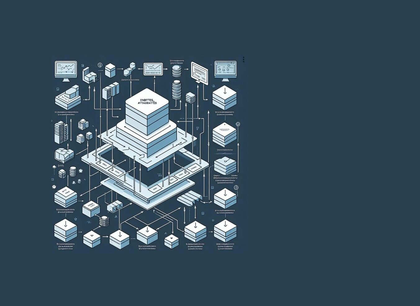
Databases are the backbone of modern geospatial systems. They power everything from real-time traffic updates to environmental monitoring and urban planning. Without strong database systems, GIS applications like ArcGIS wouldn’t be able to manage or analyze the massive amounts of data they rely on.
Understanding how databases work—and how to use them effectively in a geospatial context—opens up opportunities to contribute to smarter decision-making and more efficient data management.

